Land Cover Classification
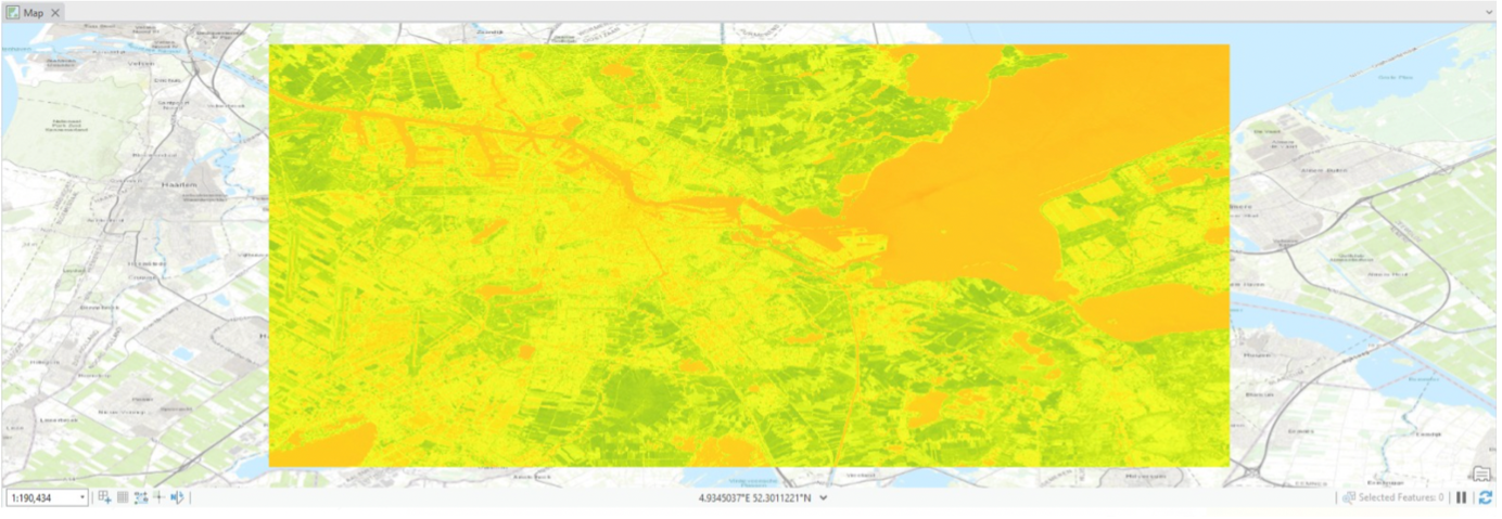
Normalized Difference Vegetation Index (NDVI)
For the third assignment, we explored various types of classifications. We utilized data from Google Earth Engine from Amsterdam in May and June 2024, importing it into ArcGIS. We generated different maps using different classification methods to determine the most suitable approach.
Normalized Difference Vegetation Index (NDVI) is essential in mapping due to its ability to assess vegetation health and density. It calculates vegetation health and coverage by comparing the difference between near-infrared and red light reflectance. NDVI maps provides valuable insights into environmental changes, aiding in agriculture, forestry, and land use planning. By measuring the "greenness" of an area, NDVI maps help monitor vegetation over time, identify conservation areas, and evaluate the impact of factors like climate change. Its application extends to diverse fields where understanding vegetation dynamics is critical for sustainable management and environmental assessment.
Through these classifications, we observed differences in vegetation health between agricultural areas, protected natural parks, and the city center of Amsterdam.